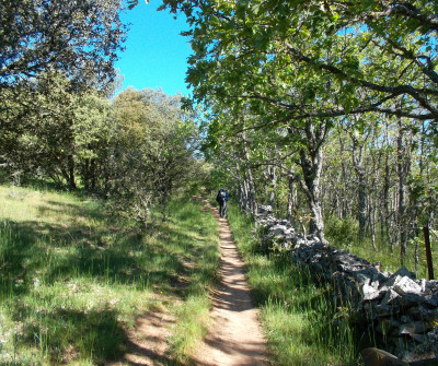
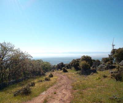
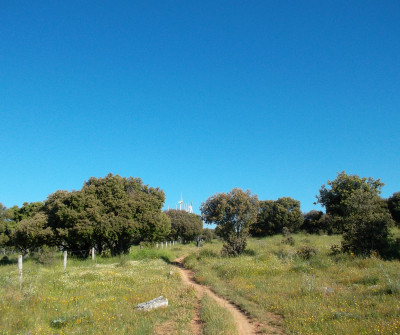
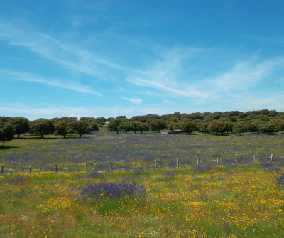
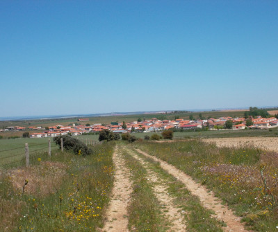
You have almost 30 kilometres ahead of you, without any important villages, services or fountains, so you really need to stock up beforehand to complete it. In turn, you will walk in a fantastic natural environment with amazing views.
READ MOREYou leave Fuenterroble de Salvatierra on the DSA-230 on a gravel road that eventually becomes a broad drover's road, which used to be a true Roman road with milestones. The Roman road crosses a large grazing land, close to Sierra de Frades and then goes up to Pico de la Dueña after a long climb.
Here you will see a fork that invites you to get to Salamanca through a shorter route*, while the official Camino goes up to Pico de la Dueña, with great views over the Salamanca grazing lands. The peak rises to 1,147 metres thus becoming the highest point on the Vía de la Plata, and you can find Saint James’ cross on the top.
The same path takes you to San Pedro de Rozados, with almost half the section ahead of you. You still have 14 kilometres to walk, part of which lacks any shade. You can cover them either on a local road or on footpaths just beside it. San Pedro de Rozados has a 17th-century church devoted to the Saint that names the village, Saint Peter.
* The alternative itinerary goes neither through Pico de la Dueña nor through San Pedro de Rozados, and it is 3 kilometres shorter than the official Camino. You go towards Monterrubio de la Sierra until Pedrosillo de los Aires, where there is a hostel. You go back to the Vía de la Plata in Morille.
Tips from our postmen and women
What to see and do in San Pedro de Rozados?
“San Pedro de Rozados is a small village, as it is so close to Salamanca, many pilgrims decide to finish the section in Salamanca itself”.


 Filter