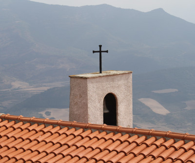
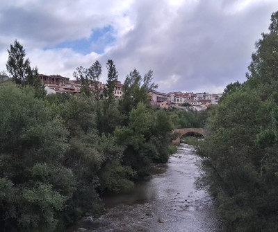
With your back to Santa María la Real and crossing the river Aragón, the route leaves Sangüesa for 2 kilometres until the village of Rocaforte*, where you will have the chance of visiting the place or continuing to the Alto de Aibar. In Rocaforte, you will find the Fuente de San Francisco and the monastery of San Bartolomé.
READ MORE
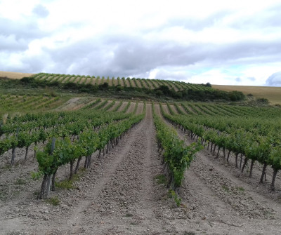
You should have some provisions with you as there are no more villages in this part of the section. The path runs through cereal fields and takes you to the peak from where you can see Lumbier after 9 kilometres.
You start descending the ravine of Basovar and follow a detour to your left leading up to the mountain of Izco and down to the valley of Ibargoiti. After you walk past Izco, after some twenty kilometres, the Camino takes you to Abínzano and crosses the river Elortz, getting close to Salinas de Ibagoiti.
The final stretch runs through forests until you arrive in Monreal, a small village by the mountain of La Higa with a medieval bridge and the ruins of the medieval castle that used to be the hunting residence of the kings of Navarre, demolished in the 15th century.
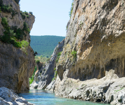
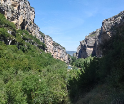
* An alternative to Rocaforte is to walk through Foz de Lumbier, towards Liédana. It is longer but not as steep. The path follows the former railway tracks and is a nice alternative to the official Way.
Tips from our postmen and women
Is the alternative recommended by Foz de Lumbier?

“The alternative path of Foz de Lumbier in the Camino in Aragón, even though longer than the official route, has the advantage of taking pilgrims through several villages and across the spectacular natural park of Foz de Lumbier. This is a 1300m-long canyon excavated by the river Irati, where you may spot many bird species and where you can walk along the tracks of the old Irati train, the first electrical train in the Iberian Peninsula, which used to link Sangüesa and Pamplona ".


 Filter